Owning or developing land comes with significant responsibilities. Whether managing a ranch, planning a residential subdivision, developing commercial property, or maintaining a large tract of acreage, having accurate information is critical to making informed decisions. One of the most effective ways to gather that information today is through professional drone aerial photography and mapping services.
Drone technology has transformed how landowners, developers, investors, and property managers evaluate and manage real estate. Traditional surveying and inspection methods often require substantial time, labor, and expense. Drone services provide detailed aerial views that allow clients to understand their property faster and more efficiently.
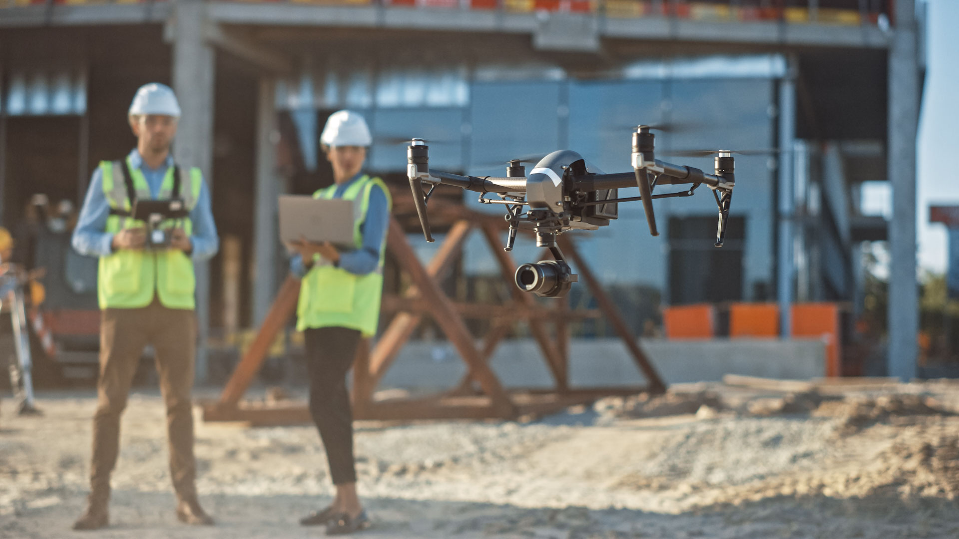
Aerial photography offers a perspective that simply cannot be achieved from the ground. Property boundaries, drainage patterns, road access, vegetation, structures, and terrain features become much easier to identify when viewed from above.
For landowners, aerial imagery can assist with fence inspections, livestock monitoring, pond evaluations, timber management, and general property assessments. Instead of spending hours driving or walking large acreage, drone operators can quickly capture detailed imagery covering the entire property.
Loving this article check out this other article: How Technology Is Transforming the Private Security Industry
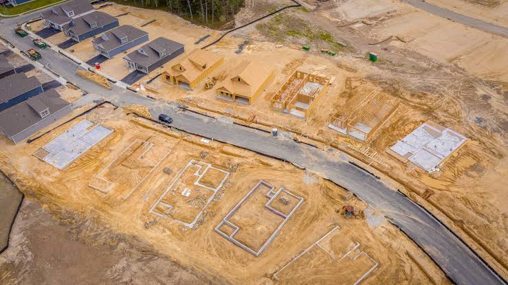
Developers frequently utilize aerial mapping services during project planning. Before construction begins, drone-generated maps provide valuable information regarding topography, access points, drainage concerns, and existing site conditions. This data helps engineers, architects, and contractors make better decisions during the planning process.
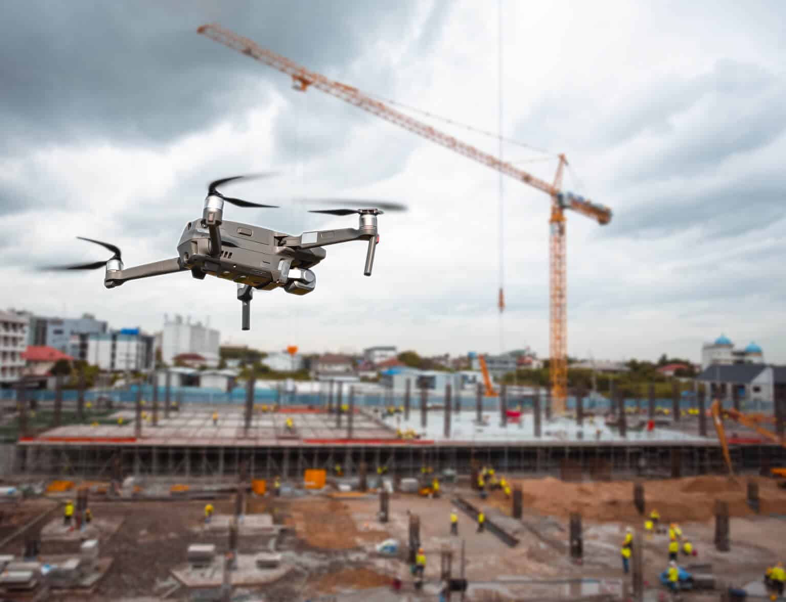
Construction progress monitoring is another significant benefit. Regular aerial updates allow project stakeholders to compare progress against schedules and budgets. Developers can document milestones, identify delays, and maintain visual records throughout the project lifecycle.
Real estate marketing has also been transformed by drone photography. Aerial videos and photographs showcase properties in ways that traditional photography cannot. Potential buyers gain a clearer understanding of property size, surrounding developments, road frontage, nearby amenities, and unique features.
Investors often rely on aerial imagery before purchasing land. Drone photography can reveal access concerns, encroachments, drainage issues, flood-prone areas, utility locations, and other factors that may influence investment decisions.
Agricultural operations are increasingly adopting drone services as well. Farmers and ranchers use aerial imagery to monitor crops, identify irrigation issues, assess pasture conditions, and inspect livestock areas. Early identification of problems often leads to reduced costs and improved productivity.
Environmental monitoring represents another growing application. Landowners can track erosion, monitor vegetation growth, evaluate water retention areas, and identify changes in land conditions over time. Historical drone imagery provides valuable records that support long-term planning and management.
Insurance documentation is another area where aerial photography provides tremendous value. Following storms, floods, fires, or other damaging events, drone imagery offers detailed documentation that can support insurance claims and property assessments.
At Strategic Protection Solutions, our drone services provide clients with professional aerial photography, mapping, property assessments, and documentation solutions. Whether supporting real estate transactions, land development projects, security operations, or property management efforts, our drone technology delivers actionable information that helps clients make informed decisions.
As land values continue to increase and development projects become more complex, access to accurate aerial data is more important than ever. Drone technology offers a faster, safer, and more cost-effective way to understand and manage property assets.
Need a drone services? Check out our services here!
When it comes to protecting investments and planning for the future, seeing the bigger picture makes all the difference—and sometimes the best view comes from above.
Here are five well-known drone service providers in the Houston area that offer aerial photography, mapping, inspections, surveying, or commercial drone services:
- Sky Eye Network – Provides commercial drone services including aerial photography, inspections, mapping, and videography for construction, real estate, and industrial clients.
- Aerial Texas – Specializes in drone photography, videography, 3D mapping, roof inspections, and infrastructure documentation across Texas.
- Landpoint – Offers UAV surveying, LiDAR, orthomosaic mapping, topographic surveys, and engineering support for energy, construction, and land development projects.
- DroneView Technologies – Provides commercial drone inspections, thermal imaging, industrial asset inspections, and aerial data collection for businesses and municipalities.
- Strategic Protection Solutions – Offers drone patrols, aerial property inspections, construction site monitoring, security assessments, aerial photography, and mapping services integrated with private security operations.