Professional drone aerial photography and mapping provide landowners, developers, investors, and property managers with detailed, real-time insights that improve planning and decision-making. From monitoring large properties and documenting construction progress to evaluating land conditions and enhancing real estate marketing, drone technology offers a faster, safer, and more cost-effective alternative to traditional inspections. By delivering accurate aerial imagery and actionable data, businesses can better protect their investments, streamline property management, and confidently plan for future development.
Day: July 14, 2026
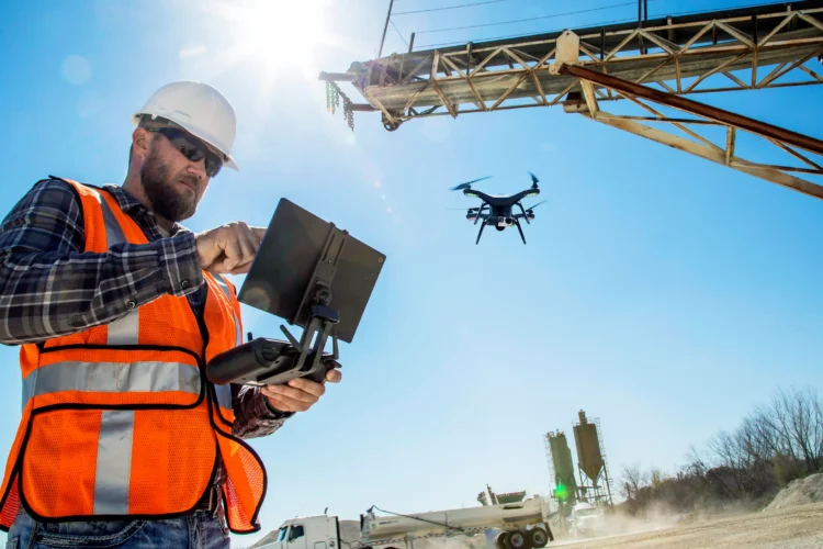
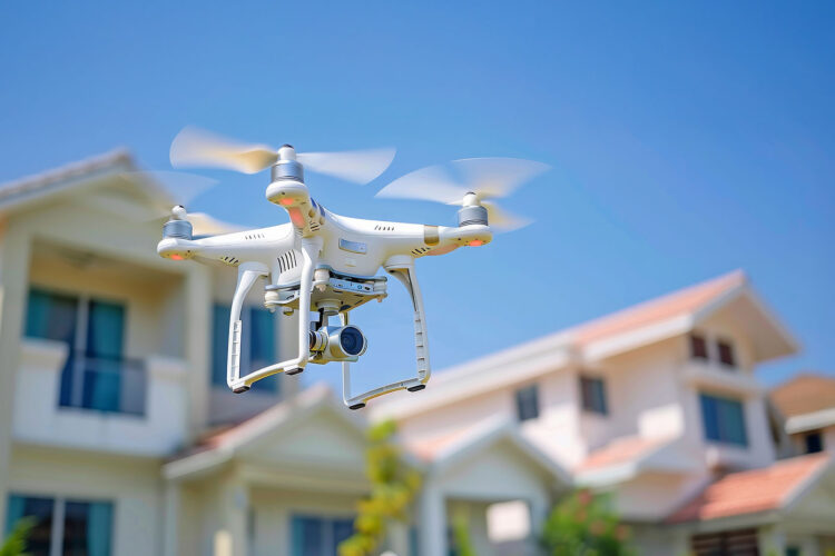
Drone patrols are transforming the security industry by providing businesses with enhanced visibility, faster response capabilities, and real-time aerial intelligence. From construction sites and industrial facilities to apartment communities and commercial properties, drones help security teams monitor large areas, identify potential threats, and document incidents more effectively. By combining advanced technology with traditional security services, drone patrols create a proactive security approach designed to reduce risks, improve situational awareness, and protect valuable assets. As security challenges continue to evolve, aerial technology is becoming a powerful tool for building safer and more efficient security solutions.